HowTo Geolocate Network Packet Capture Data
From NST Wiki
Jump to navigationJump to searchContents
Overview
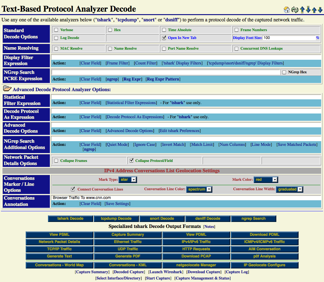
This HowTo explains the procedure for geolocating IPv4 Address Conversations using the NST WUI and rendering the results on either a Mercator World Map projection or on a KML Earth Browser such as Google Earth, Google Maps or Marble.
IP Geolocation Adjustments
Use the ' IP Geolocate Configure' button to manage the global geolocation policy for this NST system. This allows one to make latitude and longitude coordinate adjustments, configure private IPv4 Address/Network coordinate locations and select a Geolocation database source. In addition, one can also download and manage the MaxMind "GeoIP Country Edition", the enhanced "GeoIP Lite City Edition" and the "GeoIP AS Number Edition" data sets.
