Difference between revisions of "File:Latitude.png"
From NST Wiki
Jump to navigationJump to search (The latitude/longitude grid overlay in use on an NST WUI map.) |
(No difference)
|
Latest revision as of 16:32, 16 December 2014
The latitude/longitude grid overlay in use on an NST WUI map.
File history
Click on a date/time to view the file as it appeared at that time.
| Date/Time | Thumbnail | Dimensions | User | Comment | |
|---|---|---|---|---|---|
| current | 16:32, 16 December 2014 | 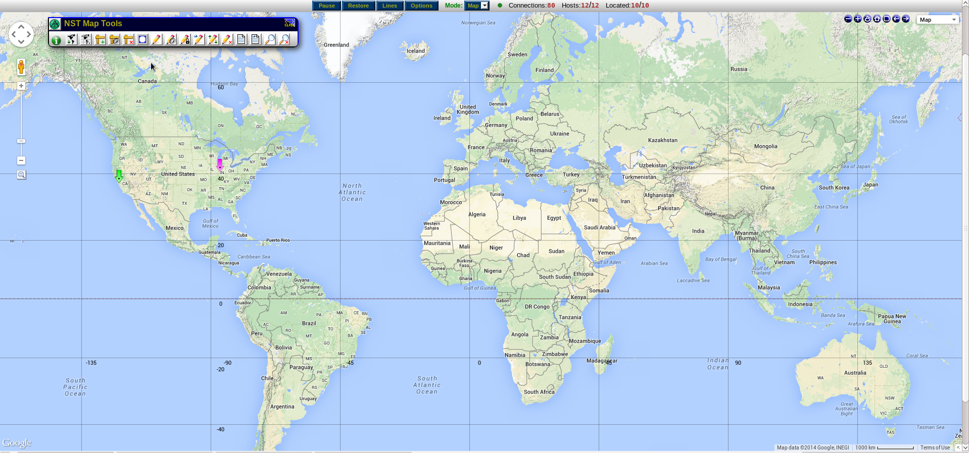 | 1,918 × 898 (1.46 MB) | Aryker (talk | contribs) | The latitude/longitude grid overlay in use on an NST WUI map. |
- You cannot overwrite this file.
File usage
The following page uses this file: